Γεωστατικός:
Πολική τροχιά:
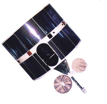
FY-2

FY-2: 79.°E
Χειριστής: Μετεωρολογική Διοίκηση Κίνας
Τύπος τροχιάς: Γεωστατικός
Όργανο: S-VISSR (Stretched Visible and Infrared Spin Scan Radiometer)
Αριθμός φασματικών ζωνών: 5
Ανάλυση στο υποδορυφορικό σημείο: VIS/NIR: 1.25km, IR: 5km
Φωτογραφίες λαμβάνονται σε χρονικά διαστήματα των 30 λεπτών.
Το ραδιόμετρο σαρώνει την επιφάνεια της Γης γραμμή-γραμμή. Κάθε γραμμή συνιστά μια σειρά μεμονωμένων εικονοστοιχείων. Για κάθε εικονοστοιχείο το ραδιόμετρο μετρά την ενέργεια της ακτινοβολίας διαφορετικών δεσμίδων φάσματος. Η μέτρηση αυτή είναι ψηφιακά κωδικοποιημένη και εκπέμπεται στον επίγειο σταθμό για προ-επεξεργασία πριν δοθεί στην κοινότητα χρηστών.
Γεωστατικός:
Πολική τροχιά: