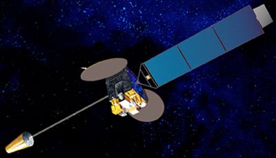
Himawari

Χειριστής: Μετεωρολογική Υπηρεσία Ιαπωνίας.
Ημερομηνία εκτόξευσης: 02/2005 (MTSAT-1R), 02/2006 (MTSAT-2)
Τύπος τροχιάς: Γεωστατικός
Θέση: 145°E
Όργανο: ραδιόμετρο
Το ραδιόμετρο σαρώνει την επιφάνεια της Γης γραμμή-γραμμή. Κάθε γραμμή συνιστά μια σειρά μεμονωμένων εικονοστοιχείων. Για κάθε εικονοστοιχείο το ραδιόμετρο μετρά την ενέργεια της ακτινοβολίας διαφορετικών δεσμίδων φάσματος. Η μέτρηση αυτή είναι ψηφιακά κωδικοποιημένη και εκπέμπεται στον επίγειο σταθμό για προ-επεξεργασία πριν δοθεί στην κοινότητα χρηστών.
| κανάλι | Μήκος κύματος (µm) |
| VIS | 0.55 - 0.80 |
| IR1 | 10.3 - 11.3 |
| IR2 | 11.5 - 12.5 |
| IR3 | 6.5 - 7.0 |
| IR4 | 3.5 - 4.0 |